The 15 Best Backpacking Trips in Northern California

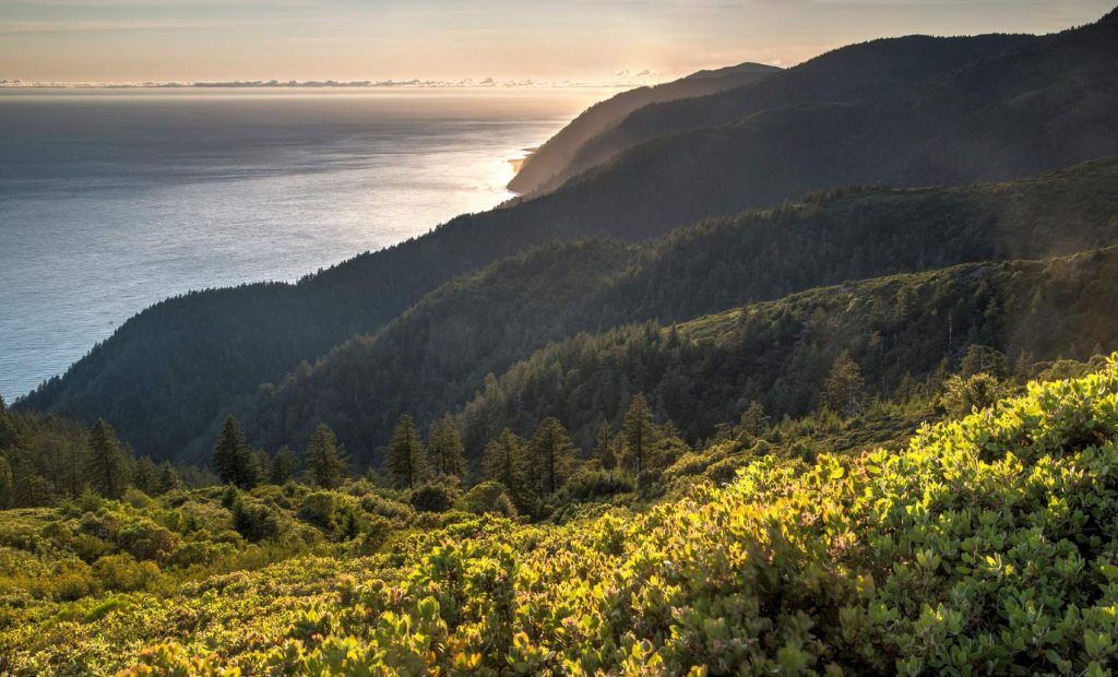
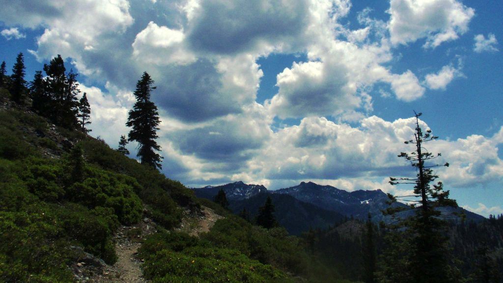
From the allure of ancient redwoods to the drama of Big Sur’s craggy cliffs, Northern California is a surreal playground for backpackers. The region’s cooler temperatures and abundance of crystal pools make Northern California a great location for longer, committed hikes that will take you away from the world for two to three days. Opportunities to encounter deer, black bears and mountain lions as the fog parts before you on a secluded Pacific trail only add to the sense of adventure of a NorCal hike. Here’s a look at 15 overnight backpacking trips and trails Northern California trekkers will love.

Quick Navigation
- The Carson-Iceberg Wilderness
- Devil’s Punchbowl Trail
- Clear Creek Route to Mount Shasta
- The Pine Ridge Trail
- King Peak
- Highway 5 Section P to the Etna Summit
- The Canyon Creek Lakes Trail
- The Lost Coast Trail
- The Stuart Fork Trail
- Bear Valley to Coast Camp Loop
- Redfern Pond From Hunting Hollow Trail
- Half Dome Trail
- Glacier Point Trail
- Cone Peak Loop
- The Feather Falls Loop Trail
1. The Carson-Iceberg Wilderness in Stanislaus National Forest

Comprised of more than 200 miles of Sierra trails spread across 160,000 acres, the Carson-Iceberg Wilderness is often overshadowed by nearby Yosemite trails. That can work to your advantage if you prefer the feeling that you own the trails. A Carson-Iceberg Wilderness expedition is one of the best 3-day backpacking trips California explorers can plan. Elevations within the wilderness span from 4,800 feet up to 11,462 feet. Carson-Iceberg even covers a portion of the Pacific Crest Trail. Expect to see generous coverings of Sierra junipers, Jeffery pines and lodgepole pines. This pocket of Northern California is also famed for its mule-deer herds.
Here’s a list of top backpacking trails with camping within the Carson-Iceberg Wilderness network:
- Bull Run Lake Trail: 7.7 miles/1,479 feet.
- Sword Lake Trail: 6.4 miles/1,194 feet.
- Disaster Creek Loop Trail: 15.5 miles/3,736 feet.
- Mosquito Lakes to Bull Run Lakes: 7.3 miles/1,676 feet.
- Wolf Creek Lake Trail to Grays Crossing: 7.7 miles/1,479 feet.
Find more information here.
2. Devil’s Punchbowl Trail in Klamath National Forest

Picturesque and steep, Devil’s Punchbowl Trail offers spectacular views for committed backpackers. While this is a year-round trail, the gate is often closed in snow conditions. Camping is not permitted at the trail end. However, Trout Camp at the Doe Flat/Clear Creek junction is commonly used by backpackers pursuing this trail.
Trail details:
- Distance: 4.4 to 10 miles, depending on the trail end you pick.
- Elevation gain: 2191 feet.
- Camping: available at Trout Camp at the Doe Flat/Clear Creek junction.
Find more information here.

3. Clear Creek Route to Mount Shasta in Mount Shasta Wilderness

Peppered with red rocks and canyon views, Mount Shasta’s Clear Creek Route is ideal for 3-day backpacking trips California adventurers can plan. The famed Mushroom Rock located at the 13,000-foot mark is considered an ideal resting point. It’s also the point where helmets are recommended if continuing toward the summit. Those who make the trek are treated to a landscape of ethereal red boulders and broad paint strokes of wildflowers.
Trail details:
- Distance: 11.4 miles.
- Elevation gain: 7,800-foot climb to a 14,179-foot summit.
- Camping: available at Clear Creek Meadow between 8,300 and 8,600 feet.
Find more information here.
4. The Pine Ridge Trail in the Ventana Wilderness

Considered the gateway to the Big Sur corridor, the Pine Ridge Trail is a splendid route canopied by redwoods, pines and oaks. It gets a decent amount of traffic due to the fact that it’s the junction for Big Sur Station and Tassajara Road at China Camp. This is an ideal choice for overnight backpacking Northern California visitors looking for a backcountry experience that offers access to stunning riverside camps touching the Big Sur River.
Trail details:
- Distance: 23 miles.
- Elevation gain: 7,847 feet.
- Campsites: Divide Camp, Pine Ridge Camp, Redwood Camp, Sykes Camp, Barlow Flat Camp and Terrace Creek Camp.
Find more information here.
5. King Peak in the King Range National Conservation Area

When seeking shorter backpacking trips Northern California visitors can enjoy, King Peak is hard to top. Located just three miles from the Pacific shore, this trail takes the cake for ocean views that pan out to include canyons and valleys. When accessing King Peak from the Lost Coast Trail, it’s important to time your visit with the tides because some areas are impassable during high tide.
- Distance: 2.5 miles when approached from the Lightning Trailhead.
- Elevation gain: 2,500 feet.
- Camping: available at Maple Camp.
Find more information here.
6. Highway 5 Section P to the Etna Summit in Klamath National Forest

Access to Upper Ruffey Lake and views of Mount Shasta are what attract most Northern California backpacking enthusiasts to this route. Encapsulating the best that the Pacific Crest Trail represents, this route can either be used as a launching point for a longer trek or a sightseeing spot. Once at the summit, enjoy reclining on large, flat rocks while tuning into the pristine silence surrounding you.
Trail details:
- Distance: 95.7 miles.
- Elevation gain: 16,771 feet.
- Camping: Dispersed camping.
Find more information here.
7. The Canyon Creek Lakes Trail in the Trinity Alps Wilderness
With its gradual inclines and wonderful opportunities for lake fishing, the Canyon Creek Lakes Trail is a favorite for both humans and wildlife. Sightings of black-tailed deer, beavers and black bears are not unusual. Home to dozens of waterfalls, this route contains five falls that are highly visible to hikers. It’s a good option when looking for backcountry camping in Northern California with little traffic.
Trail details:
- Distance: 17 miles.
- Elevation gain: 2,900 feet.
- Camping: dispersed campsites located along the trail’s creek.
Find more information here.
8. Lost Coast Trail in King Range National Conservation Area
An idyllic beach-hiking route, this journey often offers hikers surprise treasures like mass whale sightings. Points like the Punta Gorda Lighthouse add magic to the journey. In addition, the route is peppered with dunes and cliffs that can be enjoyed as you patiently wait for high tide to roll away to clear the path before you.
Trail details:
- Distance: 25.3 miles.
- Elevation gain: 1,578 feet.
- Camping: available at Cooskie Creek, Telegraph Creek and various flats.
Find more information here.
9. The Stuart Fork Trail to Emerald and Sapphire Lakes in the Trinity Alps Wilderness Area
One of the largest watersheds for Northern California backpacking, this multi-day trail is a hotbed for wildflowers and wildlife. Hikers will get about nine miles in before coming upon the meadow portion of this route. As you traverse the canyon, you’ll also spot abandoned mining equipment that has sat untouched for more than a century. The last mile of the route offers views of Emerald Lake.
Trail details:
- Distance: 30 miles.
- Elevation gain: 4,576 feet.
- Camping: available at Bridge Camp Campground and Morris Meadow.
Find more information here.
10. Bear Valley to Coast Camp Loop in Point Reyes National Seashore

This is a good option for an overnight or 2-day backpacking Northern California adventure. Hikers are treated to beautiful coastal views of Point Reyes National Seashore and wafts from patches of fresh huckleberries throughout the trail. You’ll find a nice mix of sun and shade along a trail that starts off very steep for the first few miles before gradually shifting to flat and downhill footing.
Trail details:
- Distance: 22 miles.
- Elevation gain: 1,259 feet.
- Camping: available at Coast Camp.
Find more information here.
11. Redfern Pond From Hunting Hollow Trail in Henry W. Coe State Park
This is a great year-round loop located close to the Bay Area. The Hunting Hollow entrance offers the easiest accessibility point into the more than 100,000 acres that make up Henry W. Coe State Park. Sunshine and moonlight play nicely against the dry grassy hills that give this trail its definition. The trail also includes multiple creek crossings. Upon arrival at Redfern, anticipate a reed-covered oasis teeming with bullfrogs and birds.
- Distance: 7.3 miles.
- Elevation gain: 1,364 feet.
- Camping: lakeside dispersed campgrounds.
Find more information here.
12. Half Dome Trail in Yosemite National Park

A five-star trek that requires expertise, Yosemite’s Half Dome Trail is full of steep trails and switchbacks that bring you toward breathtaking views. The steep climbs to Vernal Falls and Nevada Falls prove more than satisfying for trekkers. Also notable is the break in trees that occurs about seven miles in that reveals the famed Half Dome with accompanying valley views.
- Distance: 15 miles.
- Elevation gain: 4,800 feet.
- Camping: available at Little Yosemite Campground (lottery draw due to popularity).
Find more information here.
13. Glacier Point Trail in Yosemite National Park

Considered one of the more accessible Yosemite options, Glacier Point Trail is a loop that can be picked up near Yosemite’s gift shop. However, this trail makes up for its lack of daring with its unmatched views. Panoramic views of Yosemite Valley, Upper Yosemite Falls, Lower Yosemite Falls, Vernal Falls, Nevada Falls and Clouds Rest are all on display. Despite grade increases, this trail is considered friendly for kids. This is a top pick for short backpacking trips Northern California hikers can enjoy. You can turn a visit to Glacier Point trail into a bigger backpacking adventure by accessing it from the Four Mile Trailhead using a 4.7-mile trek at a 3,200-foot elevation.
- Distance: 0.6 miles from entrance.
- Elevation gain: 219 feet.
- Camping: dispersed Camping is available 100 yards away from any trail.
Find more information here.
14. Cone Peak Loop at Big Sur
The highest coastal mountain in the contiguous United States, Cone Peak offers dramatic views that span from Pacific coastline to the Ventana Wilderness. While beautiful, the trail can become harsh at points as you pass downed trunks and overgrown bushes. The varied ecosystem here moves from rocky and dry to lush with each twist and curve of the terrain. This is a great option for 3 to 4 day overnight backpacking Northern California adventures.
Trail details:
- Distance: 26 miles.
- Elevation gain: 7,175 feet.
- Camping: available at Kirk Creek Campground, Limekiln Campground, Espinosa, Vicente Flat, Cone Peak Road, Trail Spring and Goat Camp.
Find more information here.
15. The Feather Falls Loop Trail in Plumas National Forest
A beautiful, well-maintained trail located near Tahoe, Feather Falls offers a rewarding dip in the swimming hole accompanying the falls after what can be a rigorous, stony trek at times. The trail offers nice shade in most spots. However, the very leafy nature of this trail means that packing a good supply of bug spray is a must! The crowning feature of this trail is the large wooden viewing platform overlooking the falls.
Trail details:
- Distance: 8.1 miles.
- Elevation gain: 1,732 feet.
- Camping: available at the Feather Falls Trailhead Campground.
Find more information here.
Find more related articles
